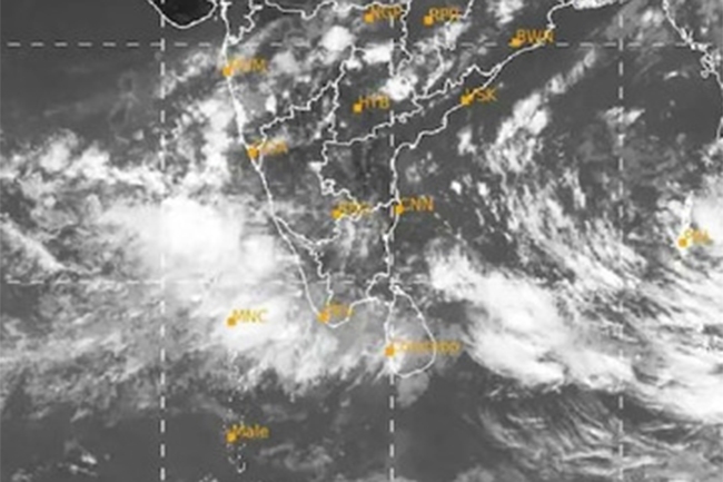
Atmospheric disturbance likely to develop over southeast Bay of Bengal
Showers or thundershowers are expected in parts of Eastern, Central and Uva provinces and in Mullaitivu and Polonnaruwa districts particularly in the afternoon or at night, the Department of Meteorology says.
Several spells of showers will occur in Western, Sabaragamuwa and Southern provinces and in Jaffna and Puttalam districts.
Strong winds of about 40-50 kmph can be expected at times over western and southern coastal areas.
The members of the public are urged to take adequate precautions to minimize damages caused by temporary localized strong winds and lightning during thundershowers.
Sea areas:
A low-level atmospheric disturbance is likely to develop over the southeast Bay of Bengal area from tomorrow (May 06) onwards.
Thereby, fishing and naval communities are requested to be attentive to future forecasts issued by the Meteorology Department in this regard.
Meanwhile, the Indian Meteorology Department has forecast that Cyclone Mocha is expected to hit Indian states like Odisha and West Bengal next week, as a result of this low-level atmospheric disturbance. The cyclone is likely to make landfall on the nation’s east coast between May 8 and May 11.
Showers or thundershowers will occur at several places in the sea areas around the island.
Winds will be south-westerly over sea area around the island and wind speed will be (25-35) kmph.
The wind speed may increase up to 40-50 kmph at times in the sea areas off the coast extending from Beruwala to Hambantota via Galle and Matara.
The sea areas off the coast extending from Beruwala to Hambantota via Galle and Matara will be fairly rough at times. The other sea areas around the island will be slight to moderate.
Temporarily strong gusty winds and very rough seas can be expected during thundershowers.